Quantcast

Blogs

De Pencier Bluffs

Sometimes it is better to forge your own path and sometimes it is better to follow the map.  Tonight it was better to follow the map but we chose not to.  Looking at De Pencier from the first bump we were pretty certain we could see a good route and set off.  Getting closers we were keen not lose any height so we kept heading directlyish until we reached a cliff and Geoff and I decided Stetson wasn't going to be able down climb it (being a dog) so we went for a bush wack and got out of the main obstacle without incident.  Getting back to the marked trail we got to th

Seymour Bag


A sunny day on Seymour for Stetson the mountain hound.

I Kneeknackered Black.

I guess since I ran the Kneeknacker, I can lay claim to Black, although it sort of feels like cheating when there's people at the top filling your water bottle and snapping pictures...

NNE from the back side.

 In case you were wondering, North Needle can be done from the north and you can do it without seriously risking your life. There's no stairs. There's no trail. It's steep and rough. But there are faint remnants of a previous sojourner's flagging. Dave Berg, Trail God, led us directly through some points of old flagging in fact. Of course, there may be no small coincidence in that because the best we can tell there is only one way up and down - Conroy egress paths excepted.

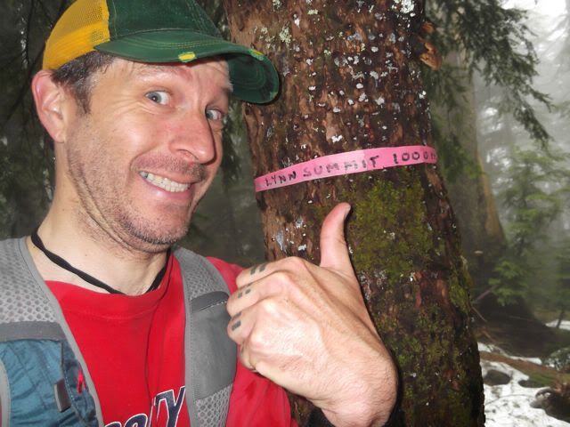
We had perfect weather after leaving from Lynn Headwaters parking lot at about 0815h. We were pretty well geared up and phones were off. 

The basic idea: go up to Norvan Meadows and turn right. Look up. Head toward the col to the left of North Needle and aim for it. Stay left near the top. And prepare to be rained on by debris from your trail partner above you. A helmet and shin guards would have been useful at times but if you take it slowly then you can do okay. (I hope my mom doesn't read this.)

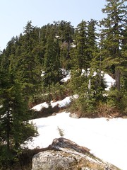
Needless to say, I doubt that more than 2 people a decade take this route. So no need for anyone else to wade through the thickets of blue huckleberry, salmon berry, devil's club and god knows what other pricklies and shrubs we encountered, for another decade. Thankfully there was some scree to hop along. We took advantage of that on the way down in particular. If you must go there, find it and use it I say. Just keep your goal in view. 

Just a few days to go...

Just a reminder that once again I will be opening up registration for the 7th. Annual "Monty".

Here in Lotus land.

Please let me know if there is anything I can do to make your visit to the Island a great trip!

I am running the "Monty" this year as the 25K distance will be enough for me this year.

I will run "sweep" again and make sure that we all get back safe and happy.

These trails are easy to follow and are flagged by the park authority.

Bagger Challenge opens today

Bagger Challenge is now generally open. All peaks on the list are open for baggage points.

Persevere. Bag. Jubilate. 

Still snow on many peaks: be careful out there! Bring proper equipment. Always bag with a buddy.

MYM50 relay team mates needed.


Anne-Marie & I are signed up for the Meet Your Maker 50 Sept 1 & 2 in Whistler.  We were originally going to divide the distance in half but I injured myself a month ago and am just getting back to training.  So I can't ramp up to 30 mile shape in this short time.  We're looking for at least 2 more participants to join us.  Sign up deadline for relay teams is Aug 1st.  http://www.meetyourmaker50.com/race-info/schedule/

Lynn in the bag.

My second peak of the year has been succesfully bagged. The snow is mostly gone above the last lookout (blink and you'll miss it...) and Lynn Peaking is as easy as it ever was. All that melted snow made for a couple nice mud pits along the way, and on the return trip I twisted my ankle as bad as I've ever twisted an ankle. Anyone have any intel on the sword and shield carved in the rock at the viewpoint?  

TCT sections 4 to 7 tracks

Here are the tracks for the Burnaby, Port Moody, Coquitlam, and Port Coquitlam sections of the Trans Canada Trail.

Syndicate content