Quantcast

Blogs

Elsay Peak... and a few more


Peaks: DEP, SEY, RUN, ELS*

I had to be in Saskatoon for work on Saturday, and since there are no flights out of Saskatoon after 5pm, I woke up at 4:30am Saskatoon time to board an early morning flight.  I got back to Vancouver just after 8 and Maddy picked me up from the Skytrain with running stuff.  After a quick stop at Matchstick for MORE coffee (I still needed more after that) we were off to Deep Cove.

Maddy dropped me off so I could get the water bag, and she continued on up to the Deep Cove look out on Seymour.  I started around 10am.

they bluff with scorn Suicide remarks are torn

Five short companions and I conquered Suicide Bluffs, the newest addition to the Bagger Challenge.

Although not marked on official Mt Seymour trailposts, and cautioned on various maps as an "undeveloped route", the route is easy to find.

Awesome new North Shore Trail Map for Baggers, CFAers, and all

features many trails, and the most peak names of any published map.

Alas, no Fat Ass Peak yet.

I picked mine up at the dandy new North Shore MEC.

http://www.trailventuresbc.com/maps/north-shore-map/map-info

Running the Wonderland Trail around Mt Rainier

For those who have run the Grand Canyon, West Coast Trail, and TransZion run, and are looking for the next epic trail running adventure, the 93-odd-mile Wonderland Trail around majestic Mt Rainier is a must-do stunner.

Full Moon Frenzy 2012 Race Report


Alexis Guigue won the overall classfication cleanly & the KOM by way of tie-break in the first completed Full Moon Frenzy Ultra.

CAT is in the Bag


Please mark Dave Berg and I down for CAT. And of course COL and BUR. 

In the image Dave is standing on BUR. That's two peaks so far. One more to go.

Spectacular weather but very warm. Thankfully there was lots of snow still around with water streaming in many places especially the west side of Burwell.

Great Peak Ascent

Late July is a perfect time for a run in the mountains on Vancouver's north shore.  The weather is generally excellent, the snow is generally gone and the trails are generally mud-free.  The only challenge is picking a trail and running it!

Club Fat Ass on Strava

Setup a Club Fat Ass club on Strava for those who might be interested.  This is a free service; whereby, you can upload your runs, rides, hikes and other human powered endeavours.  I use a Garmin GPS but you can also download an app for iPhone or Android phone.  After uploading your trip to the webservice your route gets imposed on a Google terrain map and stats are included.  You can pay for a premium service if you want extra analysis and reporting.

MT. ELPHINSTONE HIKING TRAILS

For baggers keen to explore other nearby trails, Dick Culbert has sent in this very cool trail development on the Sunshine Coast:


MT. ELPHINSTONE HIKING TRAILS

A well marked trail system trail system has now been established from the Langdale Ferry Terminal on the Sunshine Coast to the summit of Mt. Elphinstone. 

The Monty 2012

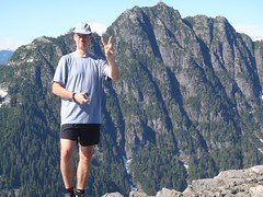
I remember saying to Alan last year when three of us slogged it out in a torrential downpour, that if I had to run the Full Monty solo, that I would run it naked...Well, I lied!Mind you by the three quarter way point I hadn't seen a soul, then my possible streak was broken by a young couple of hikers with four dogs.

I am not really dissapointed, I just think that until a bridge is built between our two running communities, there will be little interaction.

I am quite prepared to host this event, and look forward to seeing the number swell back into double digits!
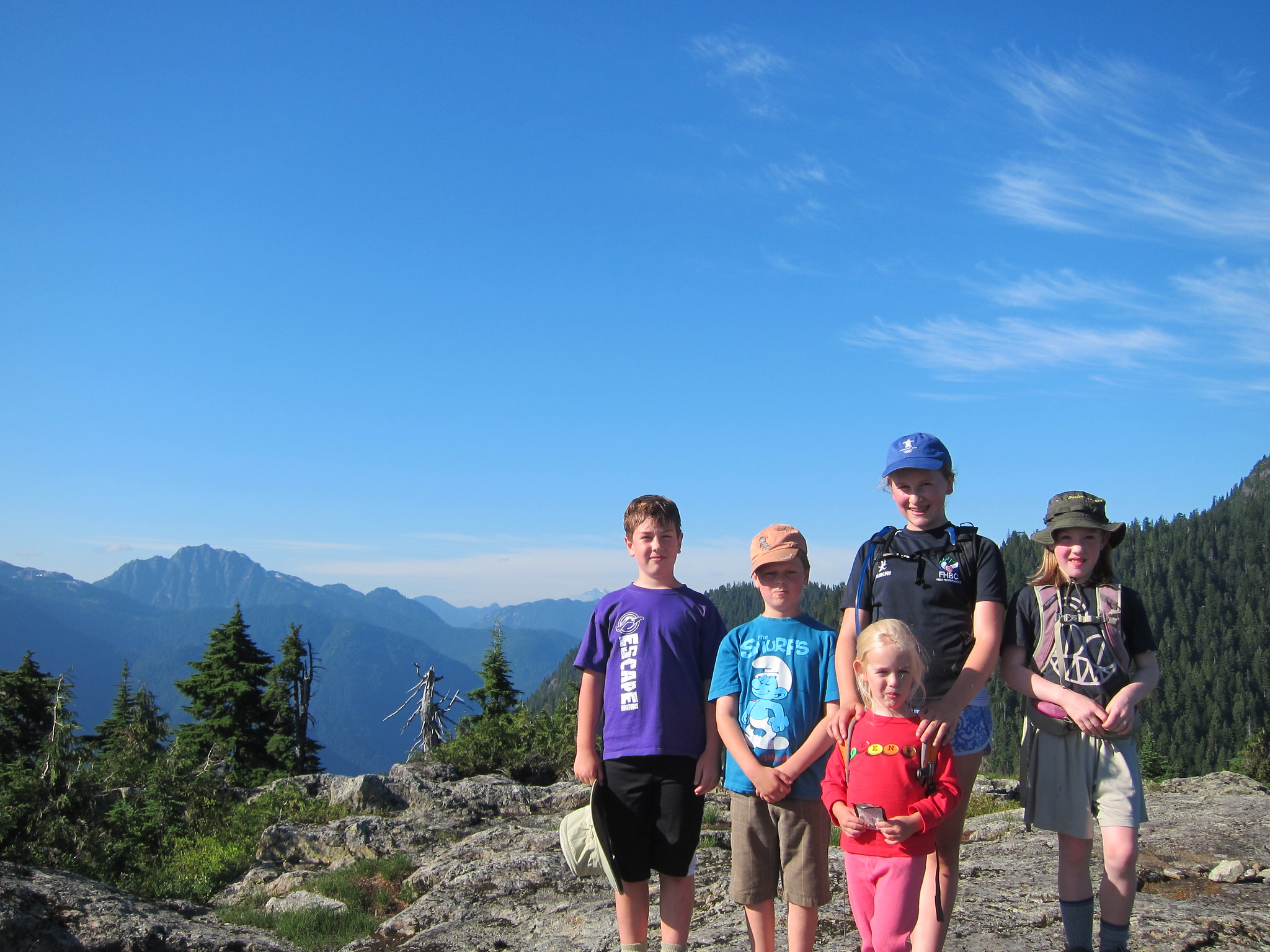
Syndicate content